
The Mapwise platform
A visitor-facing map, a studio to build and maintain it, and the platform your IT team needs underneath. 22 capabilities, one source of truth.
Visitor experience
What the person holding the phone or standing at the kiosk actually gets.
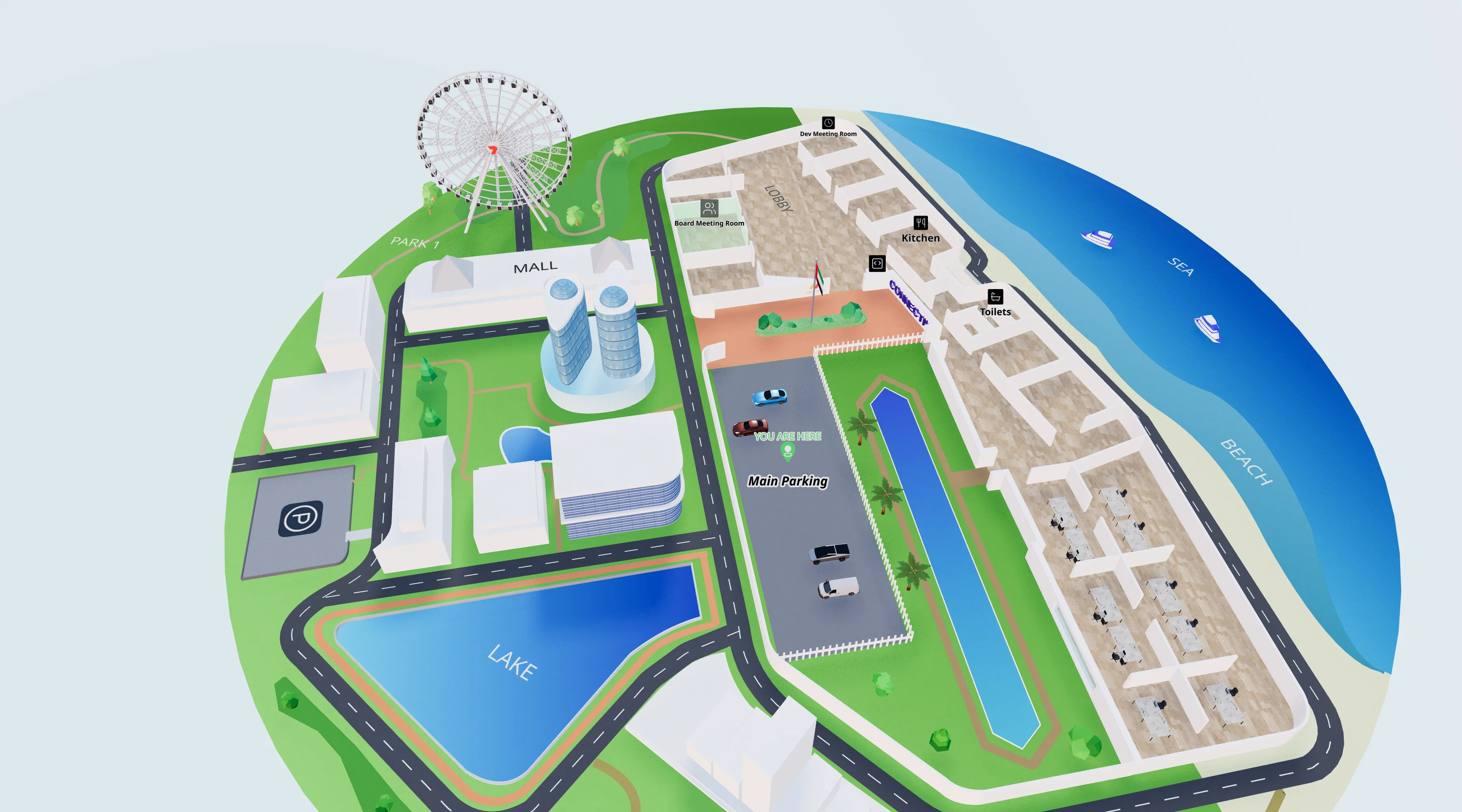
High-fidelity 3D visualisation
Immersive rendering of complex environments with realistic textures and lighting, and dynamic level of detail so it stays smooth on any device.
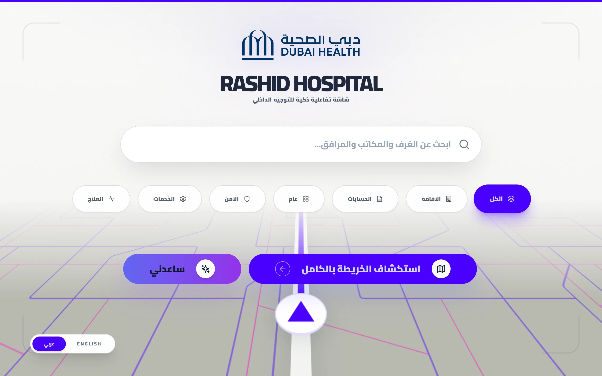
Bilingual search in English and Arabic
Predictive search with native right-to-left support, so a visitor finds a destination by the name they actually use. Results carry images and descriptions, not just a pin.
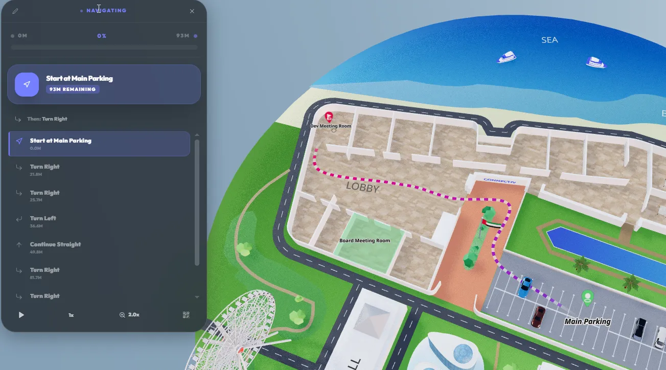
Multi-floor pathfinding
Routes that move between floors using lifts, escalators and ramps, with a dedicated accessibility mode for people with reduced mobility.
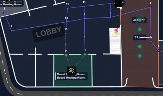
Multi-entrance routing
For destinations with more than one door, the route picks the closest available entrance rather than the one on the floor plan.
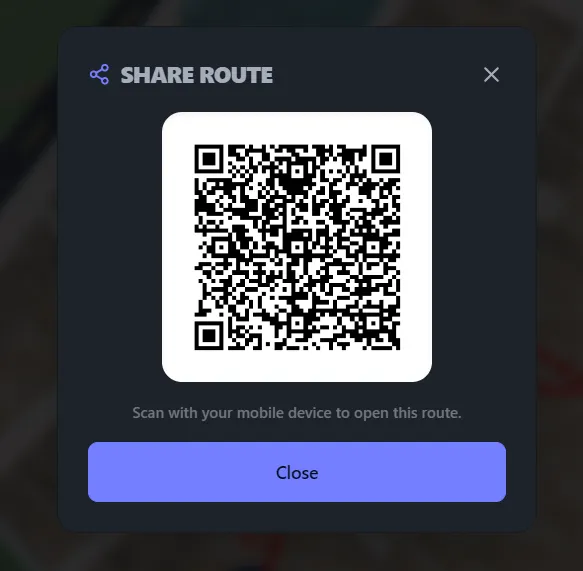
QR handoff from kiosk to phone
A visitor scans the kiosk and the live route transfers to their phone browser. No app download.
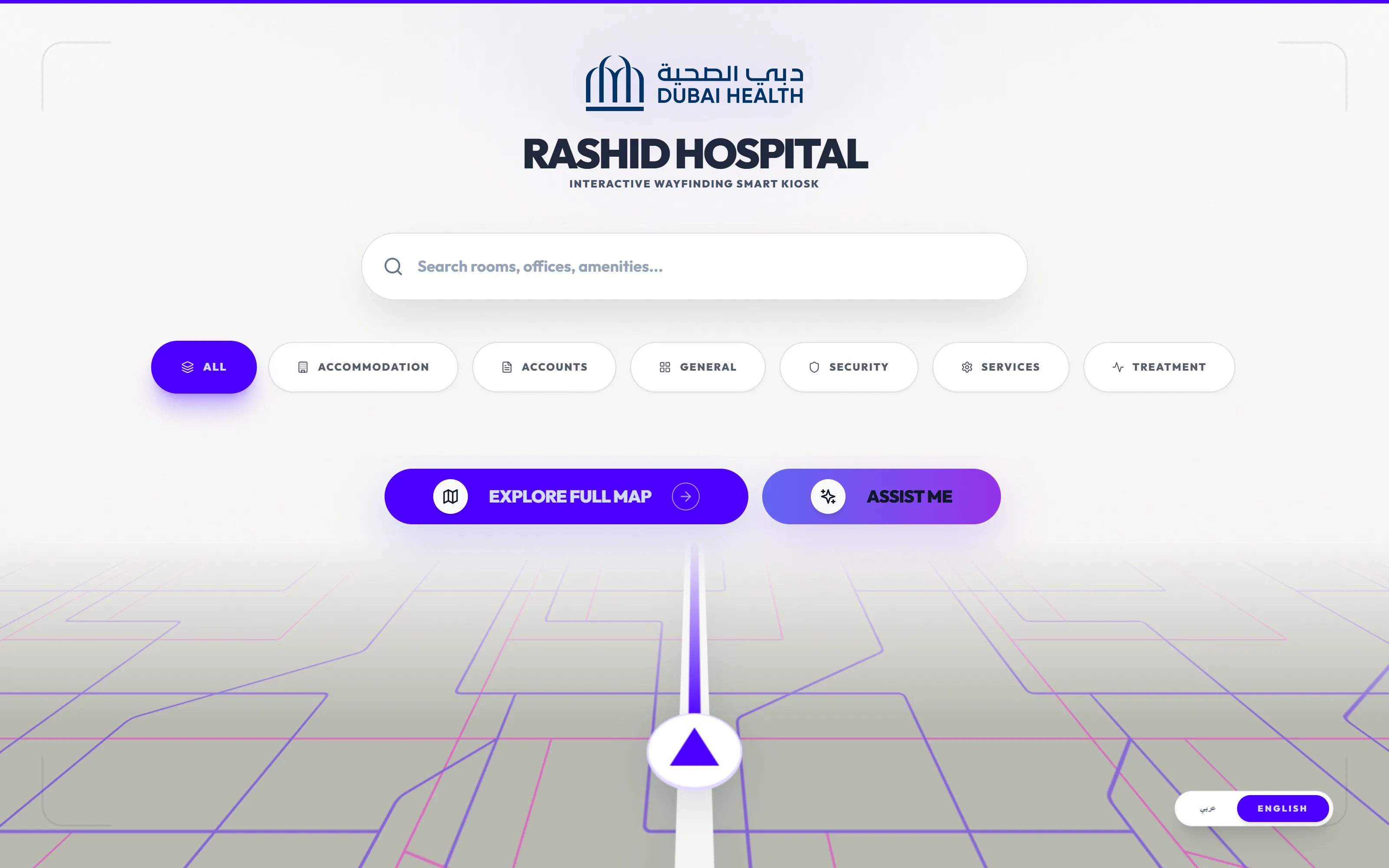
Web, iOS, Android and kiosk
Native support across all four, with a touch-optimised interface and offline capability on mobile.
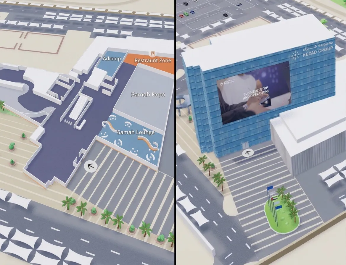
Exterior to indoor transition
A continuous zoom from the 3D building exterior into the interior floor plan, driven by camera distance.
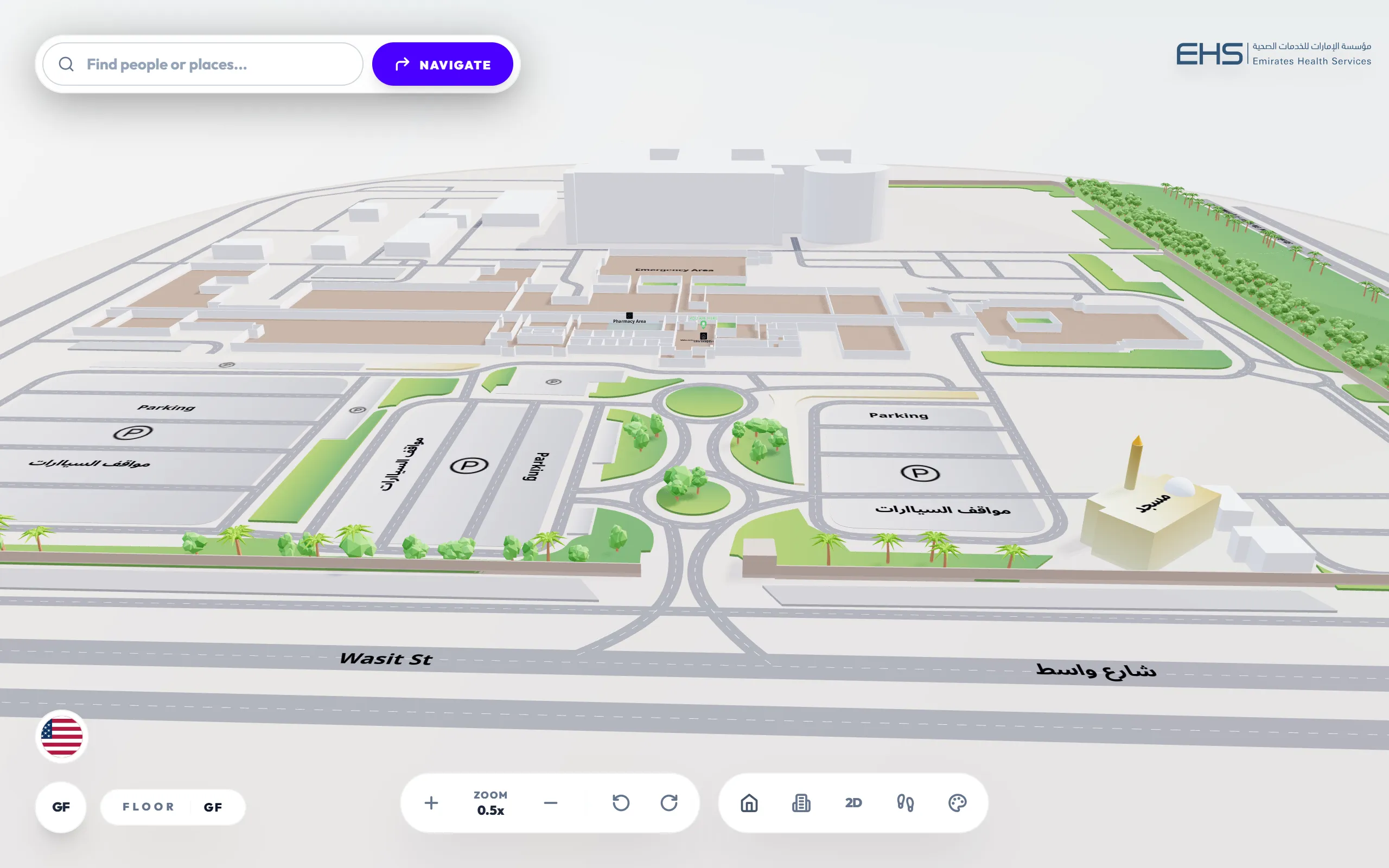
Labels that stay readable at any angle
Text and icons rotate to face the camera, so a label is legible whatever angle the visitor has tilted the 3D map to. This is what makes Arabic labelling work in 3D.
Design studio
How the map gets built and kept current, without a GIS specialist.
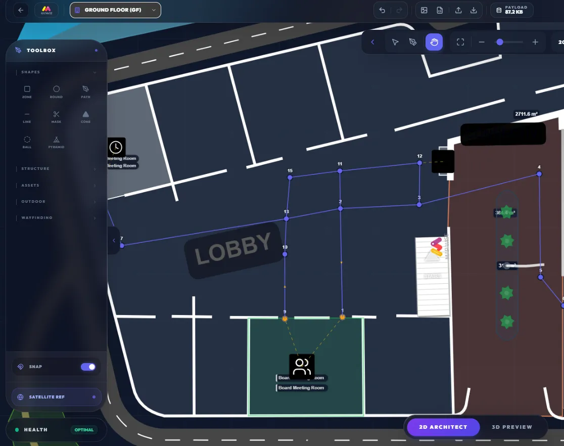
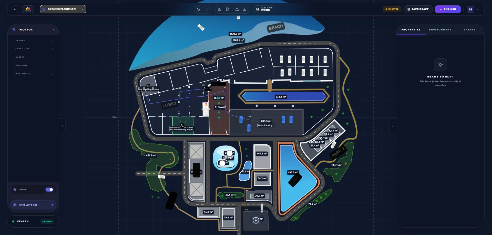
Interactive 2D and 3D editor
Design buildings from map elements like walls and floors rather than a single static file, so a layout change is an edit and not a redraw.
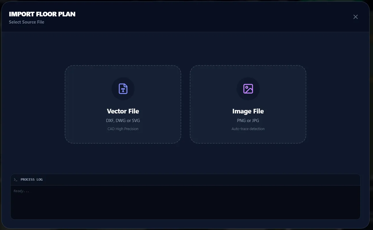
Import from .dwg, .pdf and GeoJSON
Start from the drawings your architect already gave you. Images are supported too, and maps export in multiple formats.
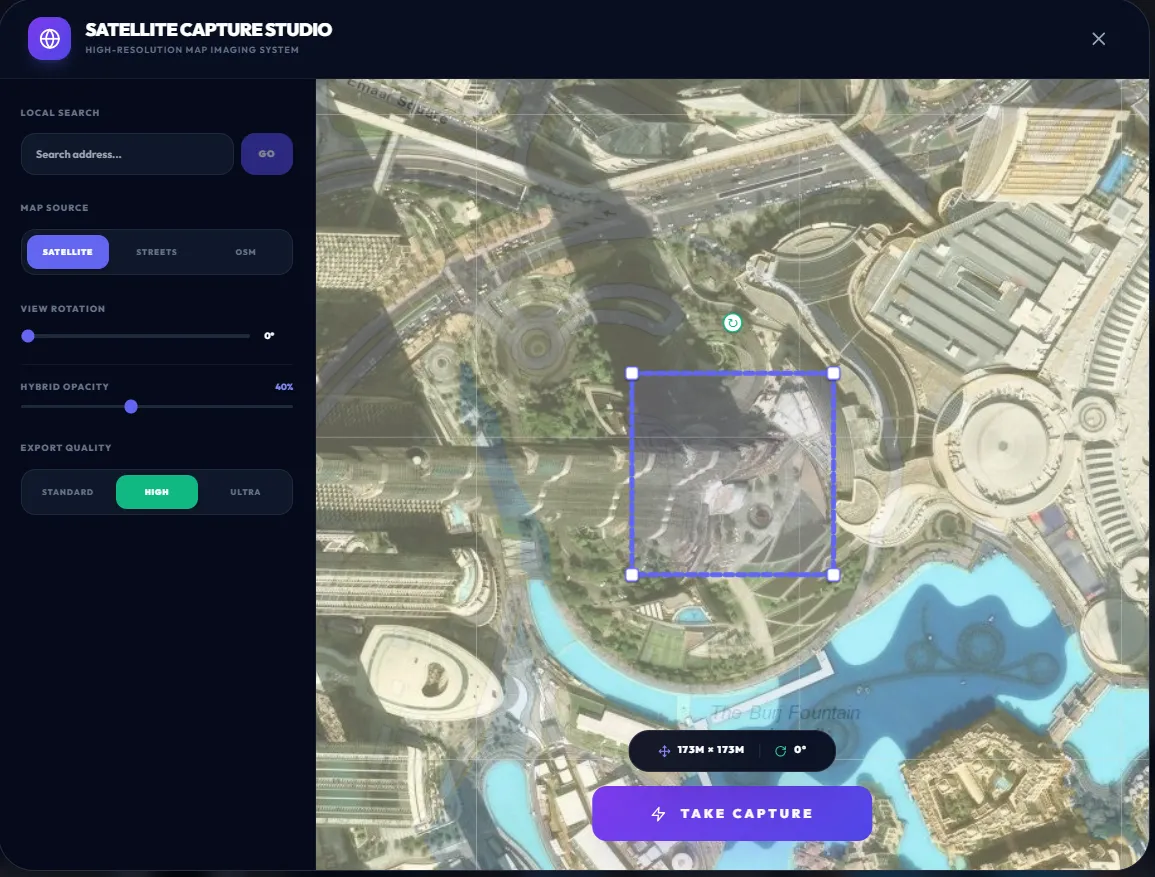
Satellite capture studio
Align indoor floor plans against global satellite imagery or an architectural guide map, so indoor and outdoor line up.
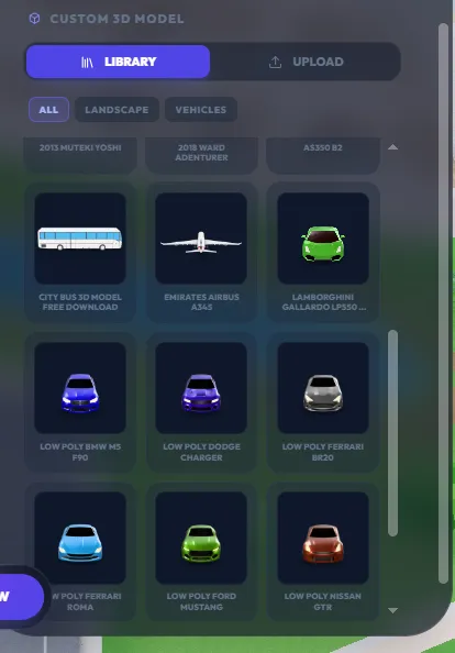
3D asset library and custom uploads
A library of low-poly models covering vehicles, furniture and landscape, plus your own GLB uploads.
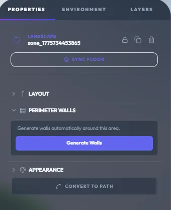
Automated walls and greenery
Generate perimeter walls and distribute 3D planting across a zone in seconds instead of placing each one.
Themes and branding
Switch between visual identities including light, dark and corporate, and match the map to the venue brand.
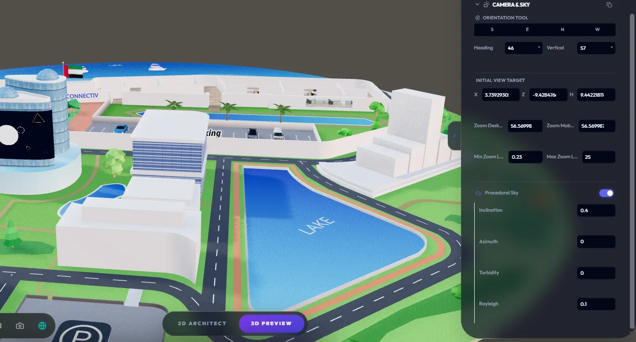
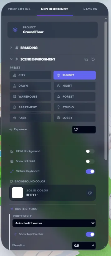
Environment controls
Atmospheric presets with adjustable exposure and shadow settings, for venues where the map is part of the brand.
Platform
What your IT and operations teams need underneath it.
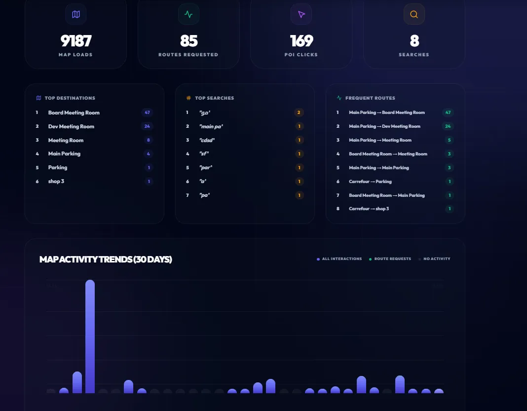
Behavioural analytics
A dashboard covering map loads, search trends and high-traffic corridors, so you can see what visitors look for and where they actually go.
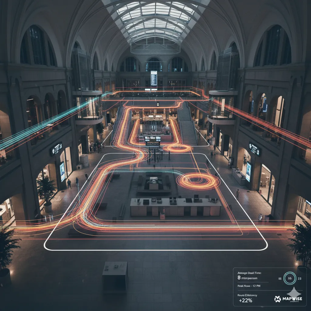
Traffic heatmaps
Visualise visitor flow across the floor plan to inform tenant placement, staffing and signage.
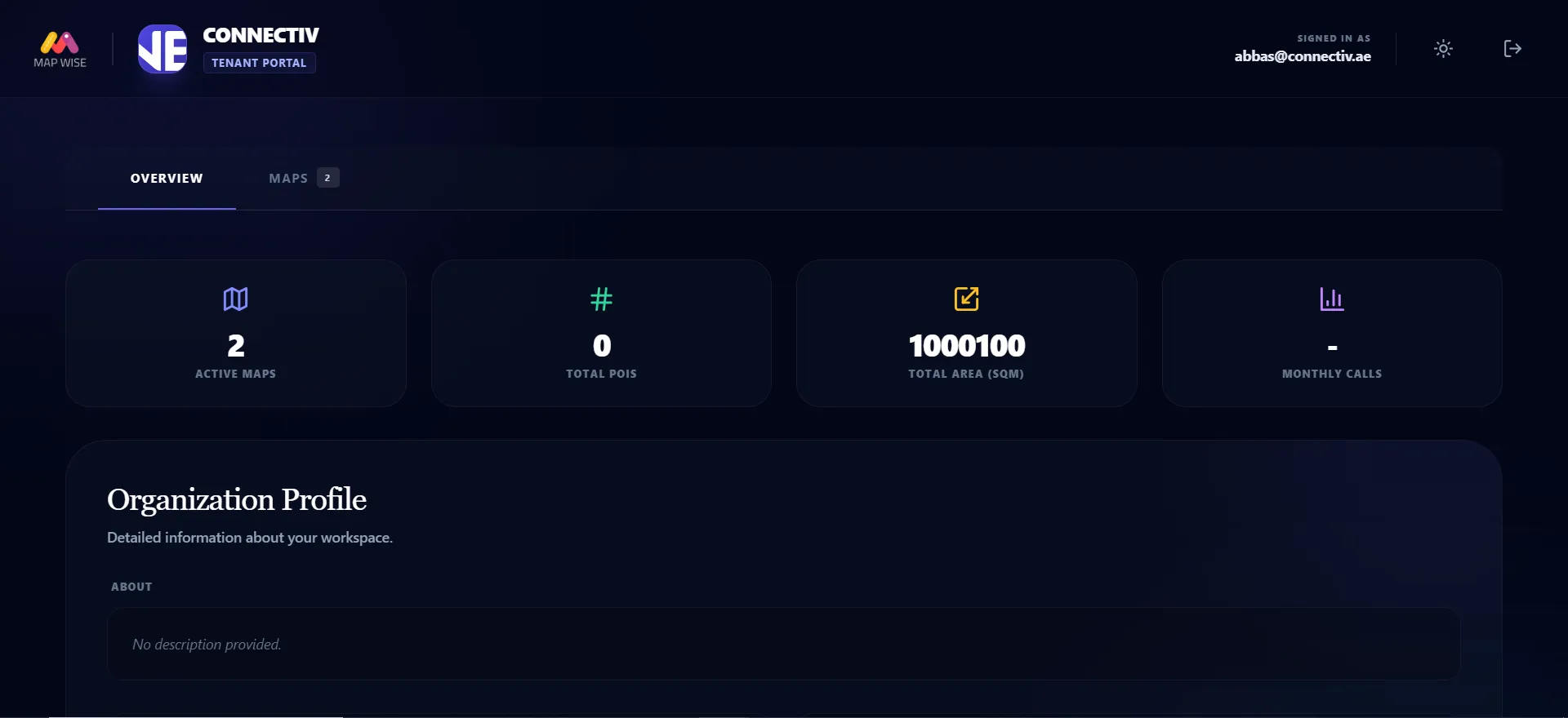
Multi-tenant governance and RBAC
Manage multiple organisations and buildings from one dashboard, with role-based access and audit logging.
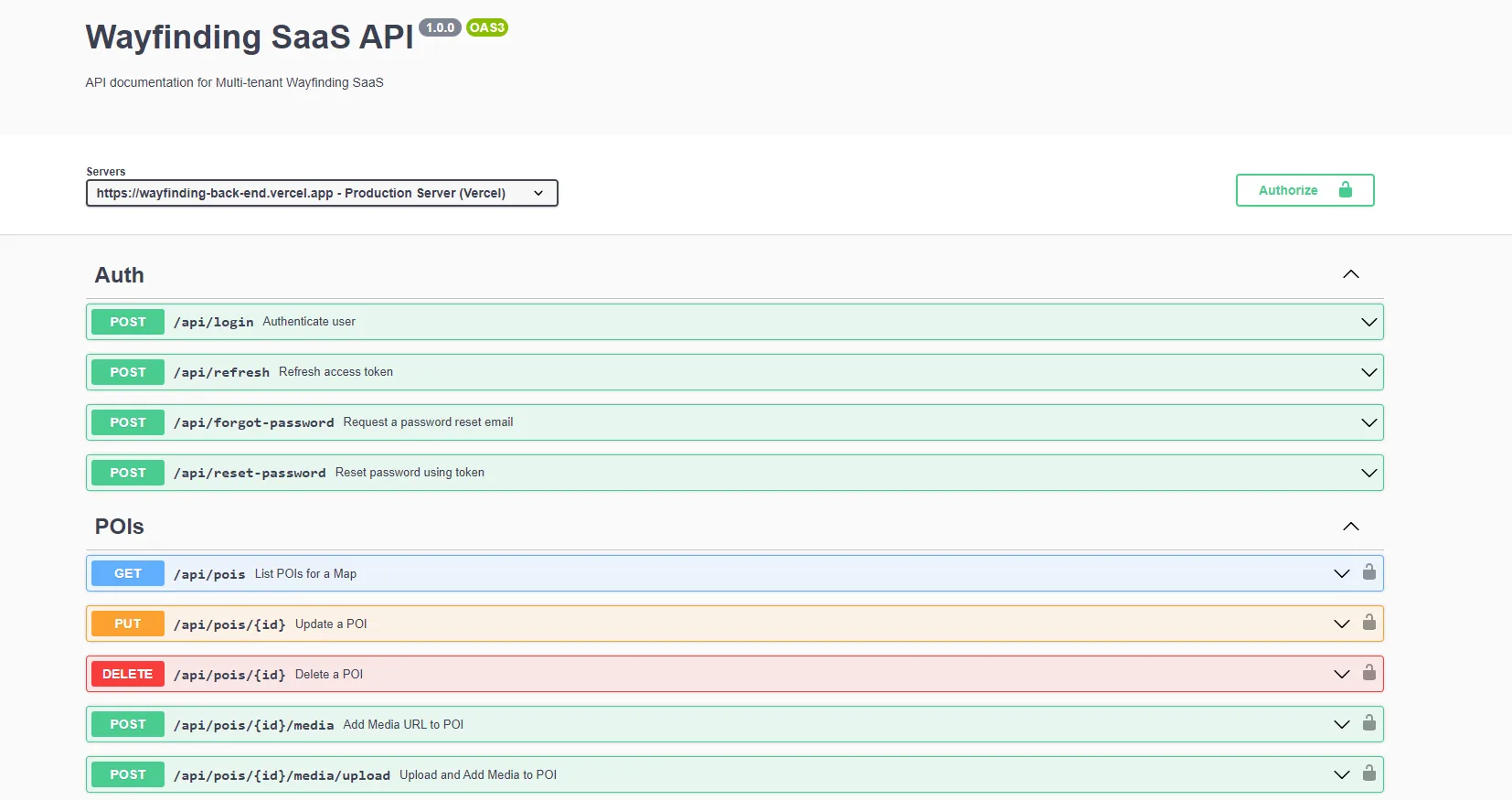
API-first
JWT-based API keys and an OpenAPI architecture, for integration with facilities management, IWMS or IoT systems.
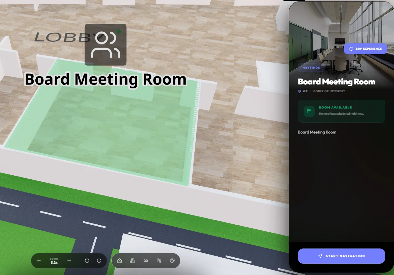
Live space and resource management
Integrates with mailbox systems to show room and desk availability on the map, colour-coded as available or busy.
Optimised .mapwise format
A proprietary binary serialisation that cuts map data overhead by around 90%, which is how large 3D venues load quickly.
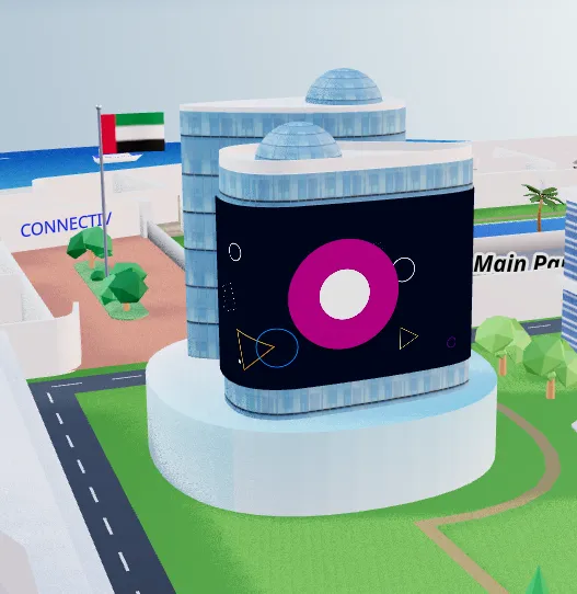
Integrated advertising spaces
Dedicated 3D modules that play video or image content in high-traffic zones, so the map can pay for itself. Most relevant to malls and airports.
Read next
Indoor wayfinding explained
What a wayfinding system contains, what it replaces, what it costs, and when it is not worth doing.
Choosing indoor wayfinding software
The eight criteria that matter when comparing platforms, and the questions vendors avoid.
2D and 3D indoor maps
When three dimensions help a visitor, when they get in the way, and how to offer both from one floor plan.
See it running in your building.
Send us one floor plan. We will build a working map of your space and walk you through it.