
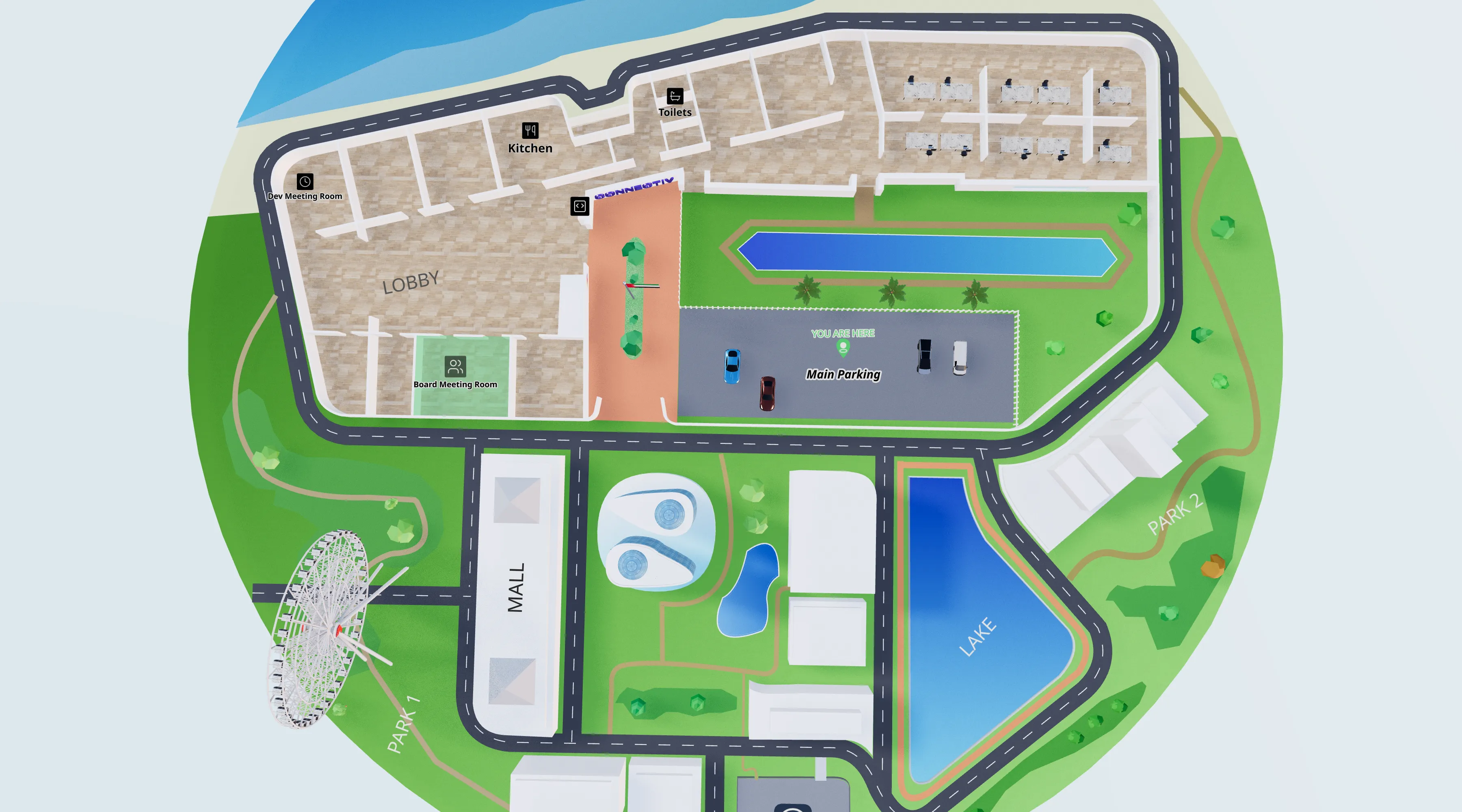
Interactive floor plans for exhibitions and events
Delegates find the stand, the session and the hall without a printed board, and the map changes with every event.
Navigation that works when it is busy
Multi-modal routing through a packed trade show floor, including step-free options.
Exhibitor visibility
Attendees locate booths, read exhibitor details and get directions. Stands get found, which is what exhibitors paid for.
Event analytics
Real-time insight into attendee engagement and map usage, so the next edition is planned on data.
Who gets lost, and what it costs
Delegates hunting for one stand among several hundred, on a floor plan that was finalised the week before and changed again the night before. Add a hall number they have never heard of and a session starting in six minutes, and the printed board at the entrance is not going to help.
- Exhibitors paid to be found
- A stand that delegates walk past because they could not locate it is a renewal conversation you do not want to have.
- Printed boards are obsolete on arrival
- Every late change to the layout means either a reprint or a board that is quietly wrong for the whole event.
- Staff spend the event pointing
- Which is the least valuable use of the people who know the venue best.
- Every edition starts from scratch
- The hall is the same and the layout is different, so the wayfinding work is repeated in full each time.
Deployed at
Exhibition and event venues
- Web
- Mobile and kiosk
- Per event
- Reconfigurable maps
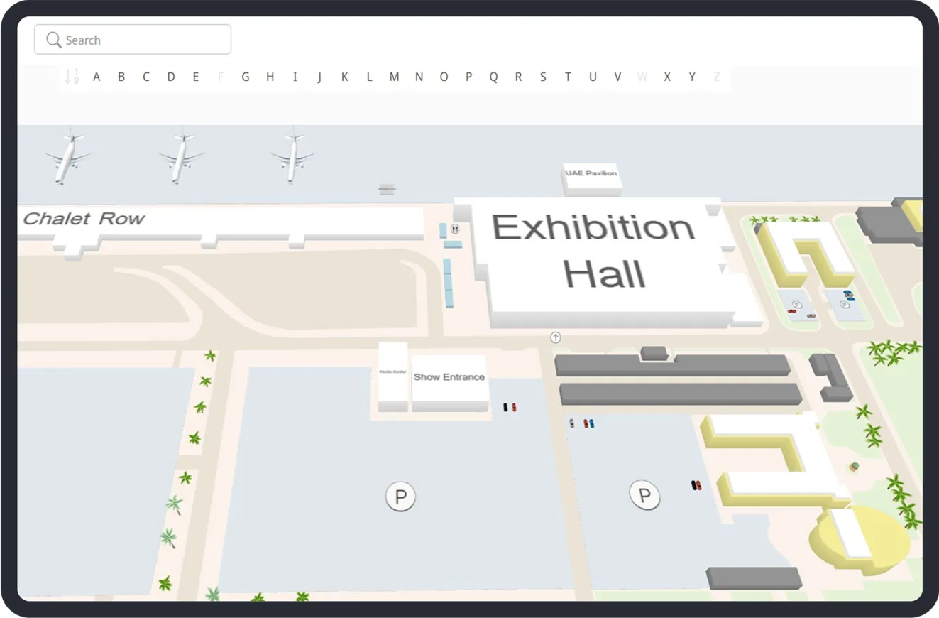
What changes
- Search by exhibitor, product, or stand number
- A delegate who half-remembers a company name still gets there, and so does one working from a stand number on a printed list.
- The map is reconfigured per event
- Same venue, new layout, published in minutes rather than reprinted. A change on the night before is an edit, not a crisis.
- Sessions and stands on one map
- Delegates move between a talk and a stand without switching between an app, a programme and a board.
- Published everywhere at once
- Kiosks at the entrances, the event website, the event app, and QR codes on existing signage.
Must-have features for events
Make it pop with 3D
A library of ready-to-use 3D models to deliver premium maps that stand out.
Publish in a flash
Push maps to web, mobile and kiosk instantly, which matters when a layout changes the night before.
Easy import and export
Compatible with .dwg, .pdf and GeoJSON to fit your floor plan workflow.
Access control
Permission levels by profile: VIP, staff and exhibitor.
CMS connectivity
Connect your existing CMS or use the built-in one to manage POI information.
Common questions
- How quickly can a map be reconfigured between events?
- The venue is drawn once. After that, each event is a layout and a set of destinations, so a new edition is content work rather than a rebuild. This is the whole reason a digital plan beats a printed one for events.
- Can delegates use it without downloading anything?
- Yes. QR codes at the entrances and on signage open the map in the browser, and the same map embeds in the event website or runs inside an existing event app.
- Can we show different things to different people?
- Access is by profile, so VIP, staff and exhibitor views can differ from the public delegate view of the same map.
- Does it work for a venue we do not own?
- Yes. Send the floor plan for the hall you have booked, in .dwg, .pdf, GeoJSON or as an image, and the map is built from that.
Read next
How indoor wayfinding works
What a wayfinding system contains, what it replaces, what it costs, and when it is not worth doing.
2D and 3D indoor maps
When three dimensions help a visitor, when they get in the way, and how to offer both.
Choosing indoor wayfinding software
The eight criteria that matter when comparing platforms, and the questions vendors avoid.
Ready to elevate your event?
Send us one floor plan. We will build a working map of your space and walk you through it.